Aerial Triangulation in Photogrammetry is methods of determine and calculate 3-dimensional object coordinates by photogrammetric means, by using photographs exposed from different positions, covering the same object.
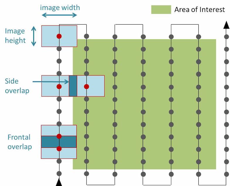
With aerial triangulation in aerial photogrammetry we might be able to calculate 3-dimensional coordinates for object elements on almost any object. We need at least some points with known position that are visible in at least some of the photographs. These points we call ground control points, or any control points, the control points have to be a part of the aerial triangulation.
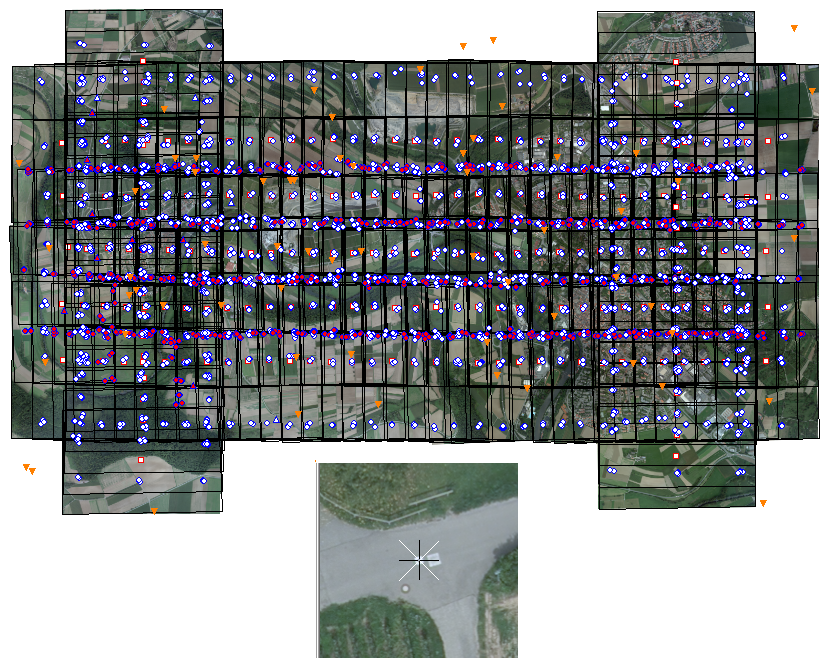
We are using Orima, Match-AT,ISST for correlation as per clients requirement.
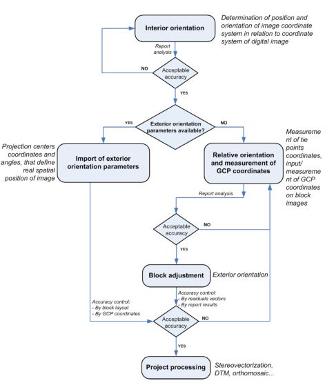
Simple procedure what we adopt at time of AT production for archiving the quality.