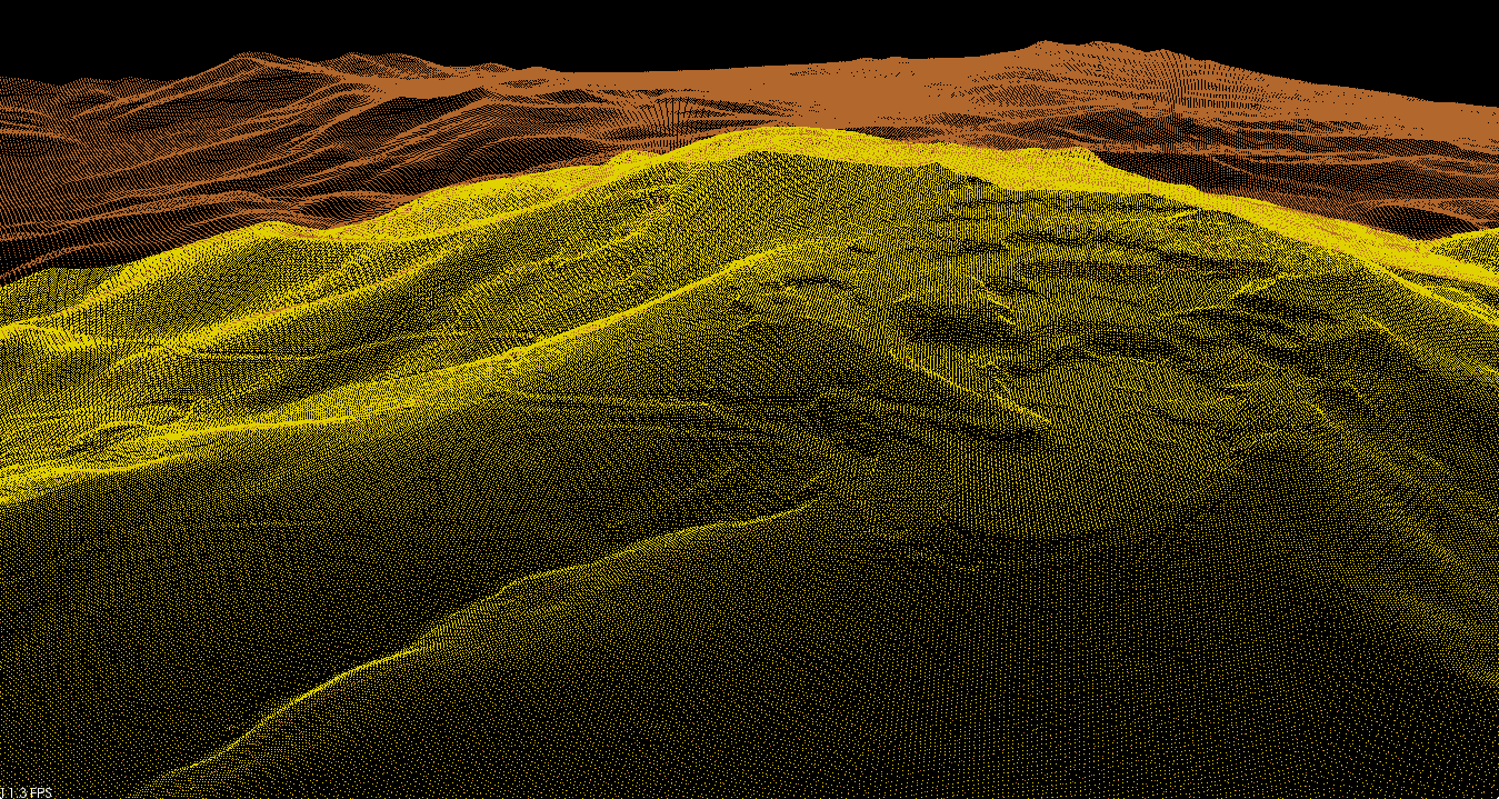
A digital elevation model (DEM) can sometimes contain pixels with failed or incorrect values. You can edit a DEM to smooth out such irregularities to create a more accurate model and, in turn, generate more accurate orthorectified images. For example, areas, such as lakes, often contain misleading elevation values. Applying a constant value to these areas improves the model and produces a more accurate representation of the lake in the ortho image. For more information, including suggestions on how to correct common irregularities.
In many cases, you may need to convert a DEM from a digital surface model (DSM) to a digital terrain model (DTM). A DSM represents the elevation surface, including objects, such as buildings and trees, whereas a DTM represents a bare-Earth elevation surface. For this reason, using a DTM to perform orthorectification generally produces better results. However, a DEM extracted from overlapping images is a DSM; it first should be converted to a DTM, and then edited before using it for orthorectification.
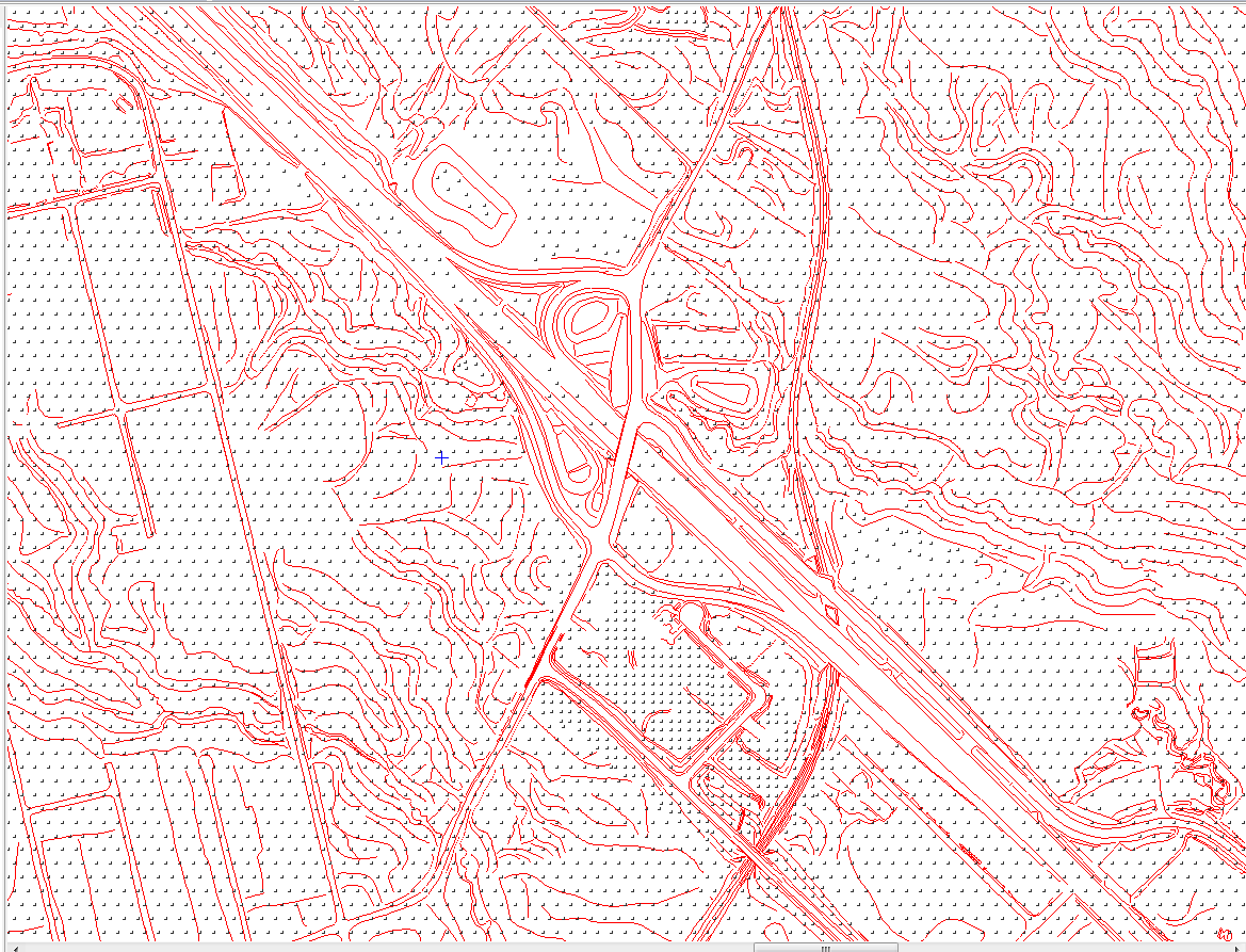
You can use a bitmap or vector mask to identify specific areas of the DEM you want to edit. The mask itself does not change the values in the area that it covers: use the tools available in the DEM Editing window to modify the data under the mask.
There are certain processes which are following before deliveries.