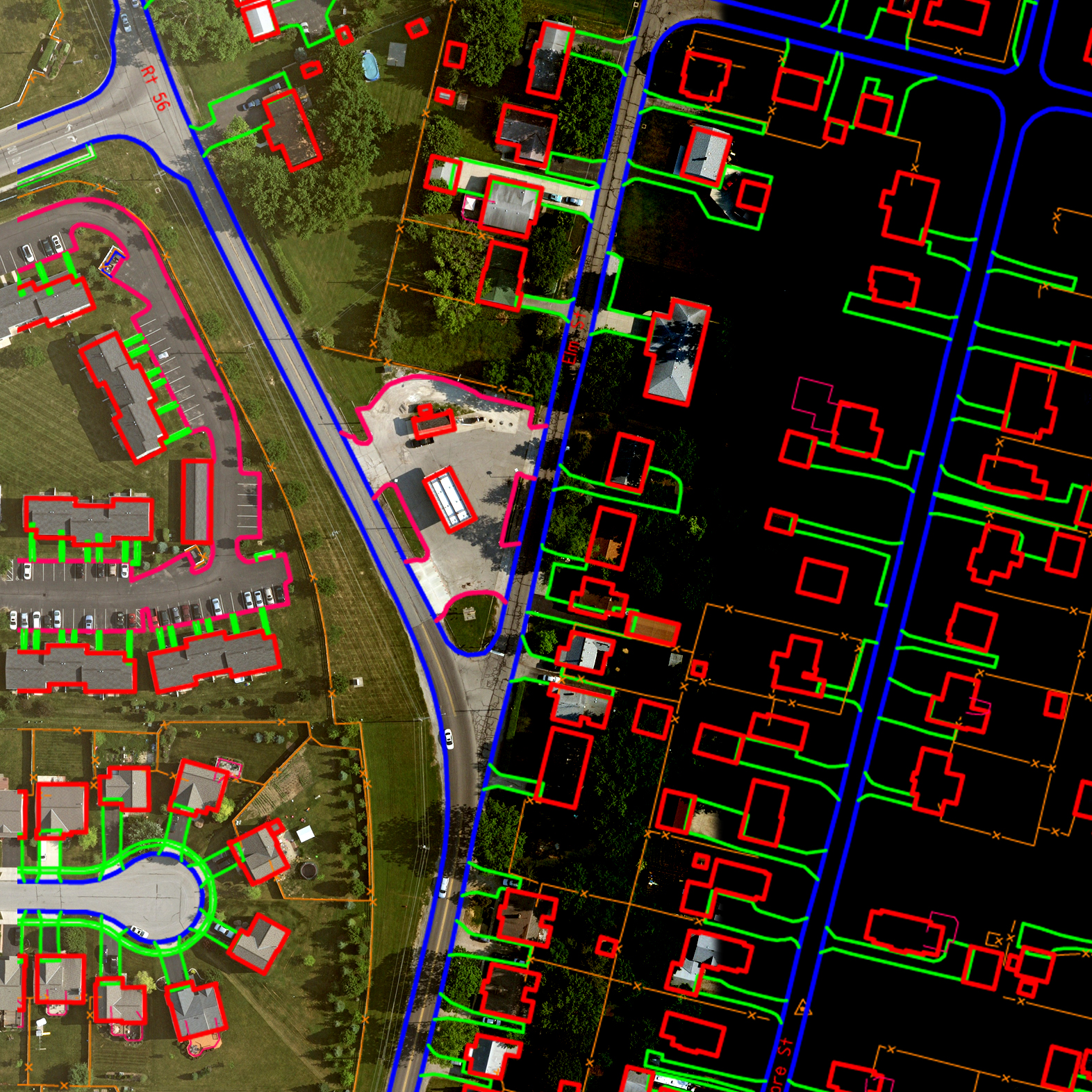
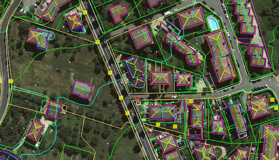
Planimetric mapping shows only horizontal features on a plane surface without elevation contours to depict the terrain, whereas in topographic mapping contour and elevations are vital parts. Our advanced photogrammetry division enables us to capture data from small to large scale stereo models and generate digital topographic maps of high precision.
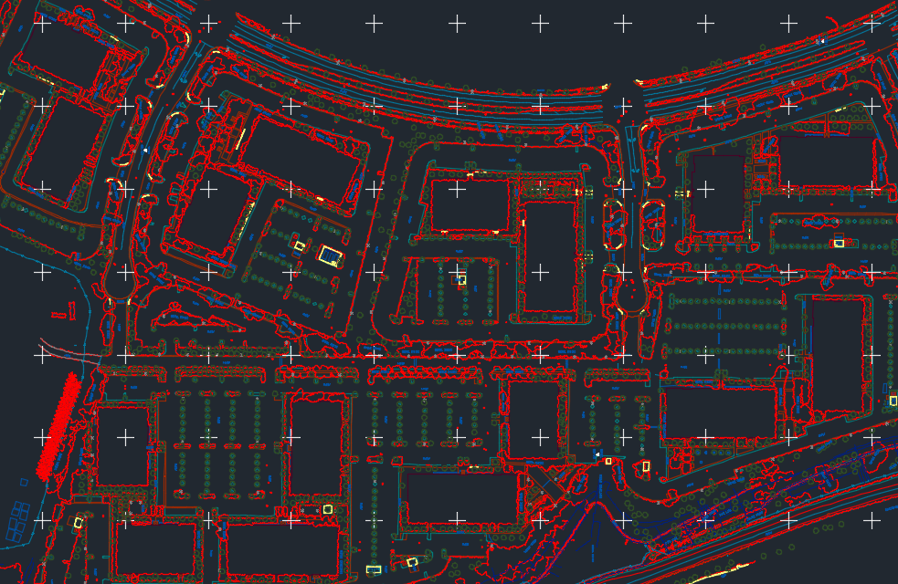
The objective of Planimetric collection is preparation of base map for different applications with complete, accurate and correct feature coded data set in full compliance to the project specification. We implement extensive stereo-data compilation skills, combined with customized tools, providing excellent accuracy, completeness and correct coding of digital vector data. We provide the collected Planimetric data in a wide range of industry standard output formats. Main categories of features usually captured by us are Structures, Transportation, Hydrographic, Vegetation, Utility and Hypsographic & Others. Our stereo data compilation extends into different scales of film based, digital photographs and high resolution satellite images.