A cadastral map is a map defining land ownership. The land register cadastral map is further defined by the Act as a map showing all registered geospatial data relating to registered plots. The cadastral map consists of cadastral units, each of which represents a single registered plot of land. The cadastral map is not limited to defining ownership boundaries, but includes geospatial references for other rights or consignments that affect the registered plots of land.
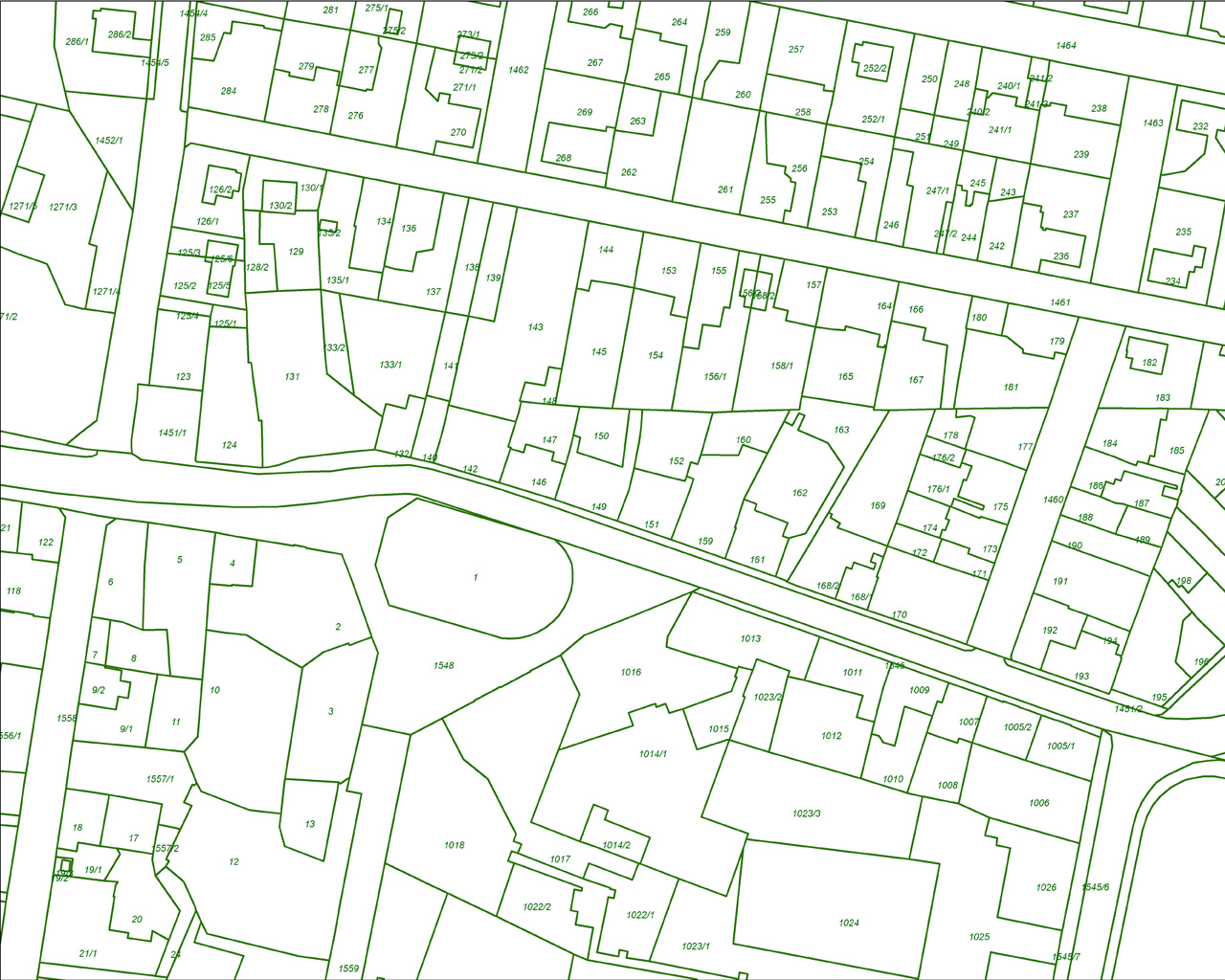
A cadastral unit represents a single registered plot of land. The cadastral map shows the boundaries of each cadastral unit, along with the extent of all registered rights. Each cadastral unit is assigned a unique number and, in most cases, this corresponds to the title number for the plot of land. A title sheet describes the plot of land by reference to the cadastral map; the property description narrates the cadastral unit number of the plot or, for leases and flatted properties, the cadastral unit of which the plot forms part. Cadastral units cannot overlap and areas owned in common must have their own cadastral unit (and corresponding title sheet).


