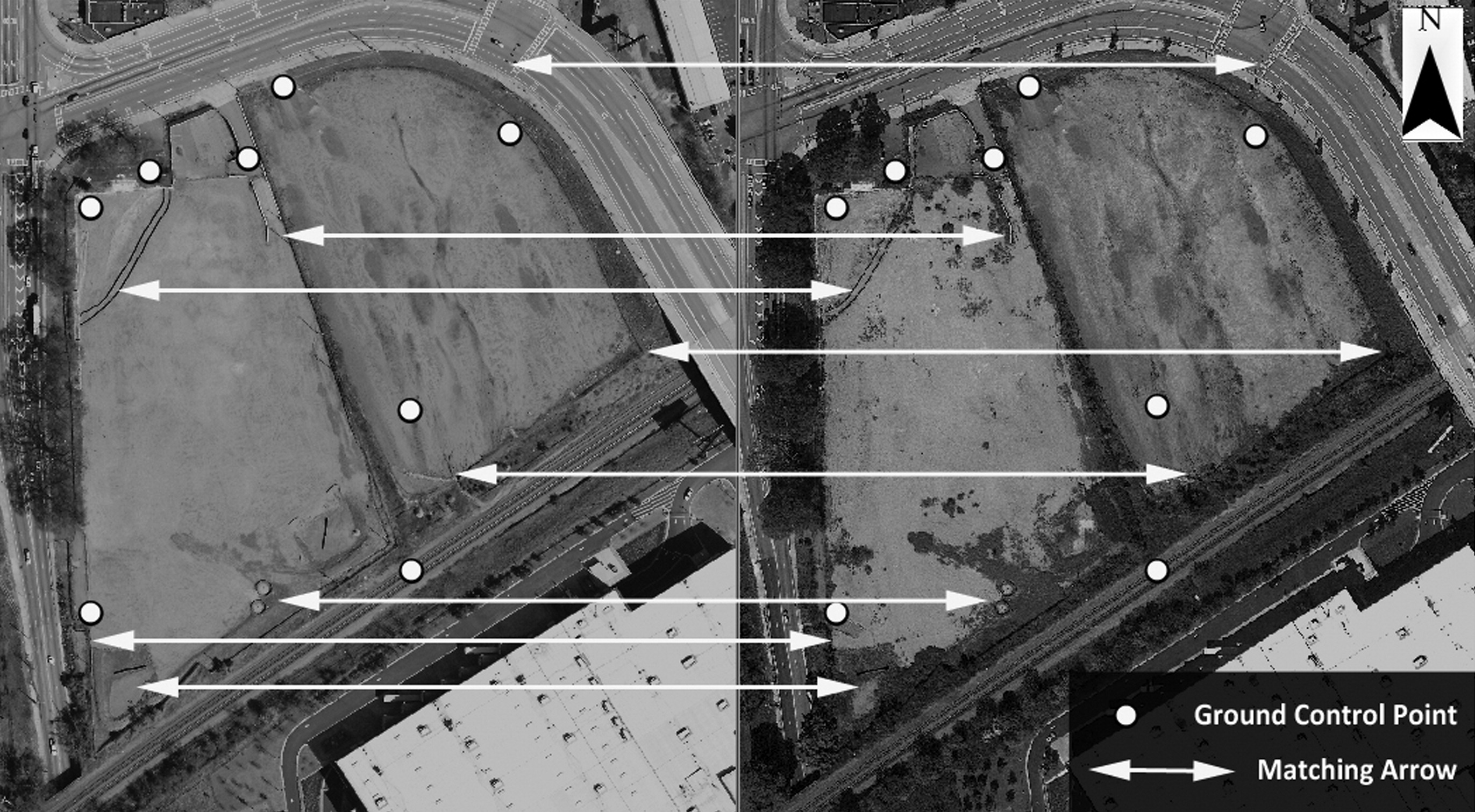
Basically what Georeferencing states that the internal coordinate system of a map or aerial photo image can be related to a ground system of geographic coordinates. In other words, Georeferencing means to associate something with locations in physical space.
InfoTech work predominantly from pre-existing client supplied data such as historic maps and satellite images which we can digitize or scan and update to capture the information as per requirement. InfoTech team members are highly experienced in creating detailed adapted maps by incorporating client specific data.


