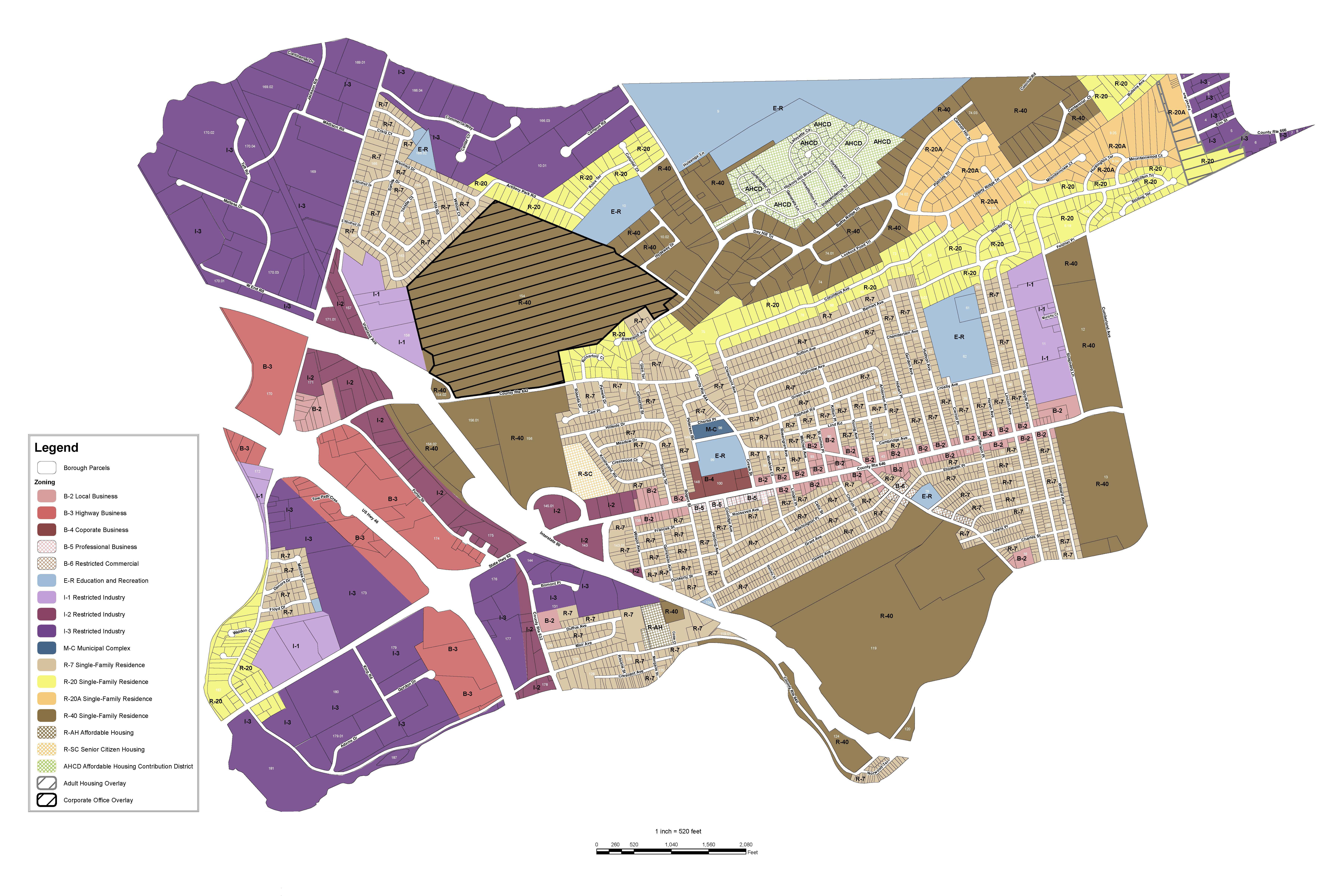
The basic drawings (maps) of the landcadastre (ownership boundaries) for all public and private lands. Parcel maps are typically maintained at a variety of scales,which show only diagram layouts of the basic landcadastre. They are commonly related in some manner to legal description documents, which typically constitute the record for describing boundary ownership for a given parcel (e.g.bounds descriptions). Parcel maps of an area providemore than a representation of ownership. The maps serve a wide range of purposes if they are constructed with a knownlevel of positional accuracy and integrated with other cultural and physical information. Such databases are frequently used as a multipurpose cadaster.
Changing land development and increasing property values make it important for a community to maintain accurate parcel maps to identify and maintain the currency of legal boundaries for public and private properties. InfoTech parcel data conversion products provides location, size, shape, and parcel identification number for specific properties. This allows for easy identification of where a specific property is located relative to adjacent properties and public roadways. Parcel data is derived from existing maps (scans or hard copies) and legal information by geospatially registering imagery using a heads-up digitizing technique. Parcels also can be collected by employing COGO methods to enter the legal meets and bounds. These parcel mapping processes are used to create a new parcel base map or update an existing base map for AutoCAD or ESRI environments.
InfoTech Parcel Mapping products deliver detailed, accurate digital resources that commercial and public users can use to determine important parcel data. Existing parcels may need to be topologically “cleaned” to eliminate slivers and gaps between parcels, and ortho imagery also may be used for greater accuracy in location of parcel lines. The final product may be delivered as a parcel fabric, simple shape file, or DWG depending on the needs of the user and their existing single-user or enterprise GIS systems.
This is important information for planners, assessors, developers, and engineers with regard to compliance with local zoning regulations, modification and / or expansion of utility infrastructure, as well as for tax assessment and appraisal purposes.
| WHO BENEFITS FROM PARCEL MAPPING? | APPLICATIONS FOR PARCEL MAPPING | |
|---|---|---|
| State and Local Government | Land Use Planning | |
| Engineers | Land use Development | |
| City Panners | Utility Surveys | |
| Tax Assessors | Tax Assessment | |
| Public and Private Utility Services | ||
| Commercial Real Estate and Private | ||
| Homeowners |
| CONDITIONS | DELIVERABLES |
|---|---|
| Price catalog is subject to change. | .dwg (AutoCAD) |
| Shipping and handling fees may apply. | .dxf (Drawing exchange) |
| Order acceptance subject to InfoTech approval | .shp (ESRI) |
| Product warranted for 90 days as defined in the End User License Agreement | GeoDatabase Personal and Enterprise (ESRI) |