InfoTech Enterprises Blogs
Select Category
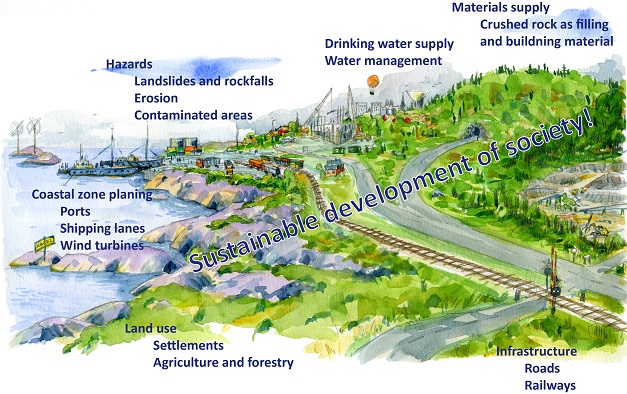
1a
September 13, 2022 | 1a | 653 | Select Category
PHOTOGRAMMETRY
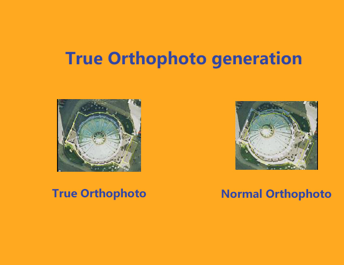
TRUE ORTHOPHOTO GENERATION
December 03, 2018 | BG | 2325 | PHOTOGRAMMETRY
InfoTech provides the facility of True Orthophoto Generation. True Orthophoto is generated with the help of DSM (Digitial Surface Model) which removes the error occurs in Orthophoto.
Types of Errors occurs in Orthophoto
- Positioning error: Difference between the Nadir point and measuring point.
- Law
Read More
PHOTOGRAMMETRY
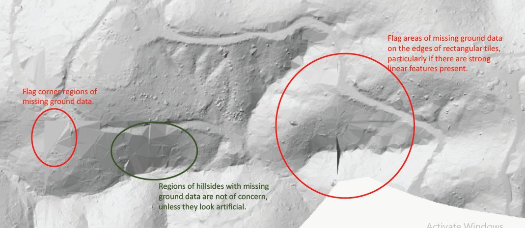
Orthophoto QC of Generated Orthophotos and LiDAR Hillshade data
November 24, 2018 | BG | 2306 | PHOTOGRAMMETRY
InfoTech is having an experience team of technicians who does Quality checking of Generated Orthophotos and LiDAR Hillshade data. The team is well trained to do such tasks and provide the customer a satisfaction of quality data.
Ortho qc is a process of analyzing the final Orthophoto data and checking for various
Read More
PHOTOGRAMMETRY
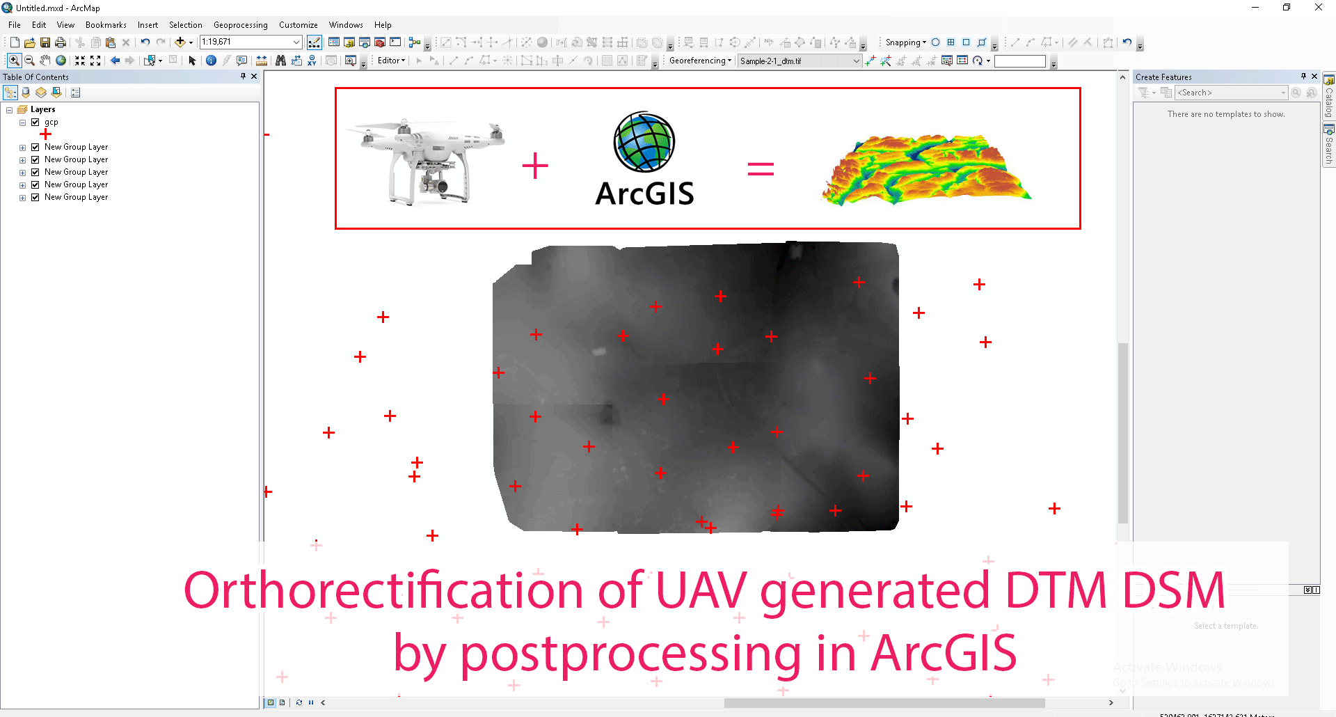
OrthoRectification of Images
November 09, 2018 | BG | 2009 | PHOTOGRAMMETRY
InfoTech has extensive experience in providing Ortho rectification services. Ortho-rectification means eliminating the effects of camera tilt and relief displacement or in another words , it removes the internal and external distortion to assign more accurate coordinate to final data. InfoTech is having a dedicated
Read More
CAD & GIS
GIS: A trendsetter in Real Estate
July 12, 2018 | BG | 2330 | CAD & GIS
GIS plays an important role in providing detailed information in Cadastral Mapping areas. Using geospatial solutions, data on land parcels, buildings and apartments concerning location, shape, ownership, value, legal regimes, land use and history of changes become valuable information for numerous categories of
Read More
CAD & GIS
InfoTech as leader in Geo-spatial industry
July 05, 2018 | BG | 2206 | CAD & GIS
We at InfoTech Enterprises , provides the complete solution to Geospatial and Engineering sector around the world. We have an experienced team of GIS, CAD & Web experts and has successful track record with industry proven and mature focusing on successful project delivery all over the world. We are considered among
Read More
PHOTOGRAMMETRY
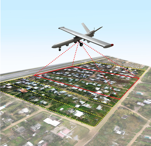
UAV Image Processing
April 27, 2018 | BG | 2591 | PHOTOGRAMMETRY
The spatial resolution of the input imagery is directly proportional to the accuracy of aerial data. More the resolution better the quality of aerial data. The high resolution images from UAV are as good as traditional aerial mapping solutions. The latest in computing practices resulted in vigorous and fully
Read More
Technology
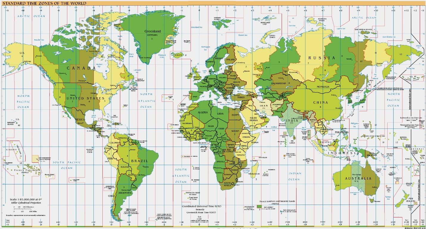
Working with Maps - How Map Works?
April 24, 2018 | SL | 3386 | Technology
We are going to show you how to work with Maps.
Following are the point.
1. Map basic elements
2. Additional graphics elements
3. Map finalization
Map Basic element:-Definition of Map Elements. A map usually contains the following elements: Title (and subtitle): Usually draws attention by virtue of its dominant
Read More
CAD & GIS
Why GIS is so effective in Cadastral Mapping?
March 29, 2018 | BG | 2143 | CAD & GIS
GIS technology enables us to manage parcel data in a manner not possible with hand-drawn or CAD-generated maps. The ability to query alone is enough reason to convert to a GIS system. The amount of time saved by being able to instantly locate a particular parcel is enormous. One can easily determine if a parcel is
Read More
CAD & GIS
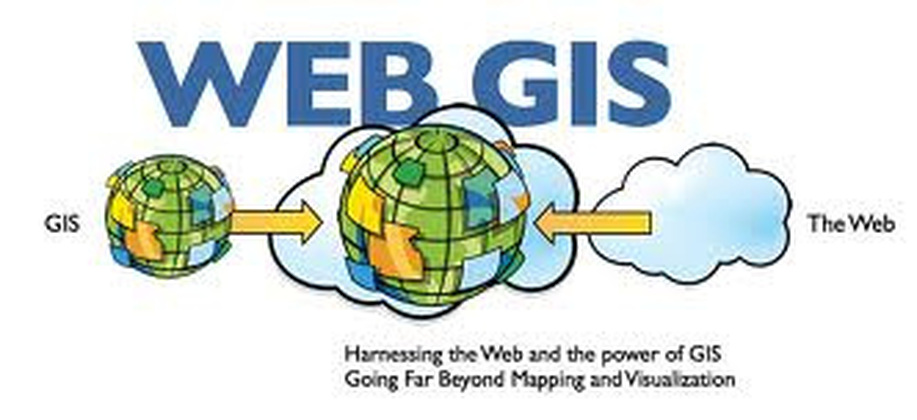
Importance of Web GIS
March 26, 2018 | NV | 2692 | CAD & GIS
Today our world is facing serious challenges, and it’s clear that we need to work together to collectively create a better future.
We don’t really have a lot of choice in this matter. We need to leverage our very best brains, our best creative talent,
our best design talent, our technology, and our
Read More
CAD & GIS
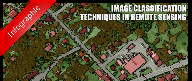
Techniques in Image Classification
March 14, 2018 | NV | 2554 | CAD & GIS
The image classification plays an important role in environmental and socioeconomic applications. In order to improve the classification accuracy, scientists have laid path in developing the advanced classification techniques. However, classifying a remotely sensed data into a thematic map is still a nightmare because
Read More
CAD & GIS
The benefits of GIS to land use planning
March 07, 2018 | NV | 3230 | CAD & GIS
The development of information technologies has significantly changed the approach to land use and spatial planning, management of natural resources.
InfoTech GIS considerably simplifies territorial planning operating analyzing necessary data concerning their spatial relationship that allows carrying out complex
Read More
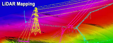
LIDAR SERVICES
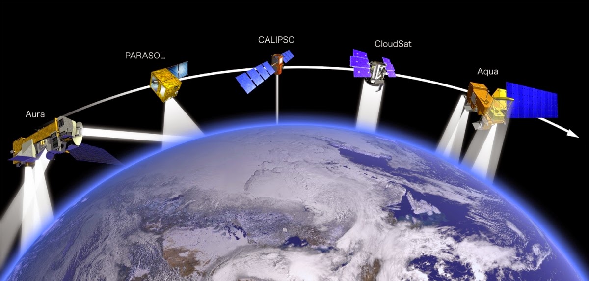
What is LiDAR and how does it work?
February 25, 2018 | NV | 1930 | LIDAR SERVICES
LiDAR is also known as Light Detection and Ranging. LiDAR technology uses light sensors to measure the distance between the sensor and the target object. LiDAR is a remote sensing method that uses laser to measure the elevation like the ground, forest, and buildings.
It uses the ultraviolet, visible, or near-infrared
Read More
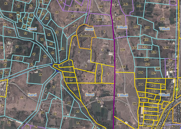
CAD & GIS
Cadastral GIS of Real Value
February 17, 2018 | Admin | 2474 | CAD & GIS
InfoTech’s Cadastral GIS applications, while not as glamorous as GIS applications for emergency response or law enforcement, enhance the performance of the assessor's office and often provide the foundation for the development of GIS throughout a local government.
Cadastral data defines the geographic extent
Read More
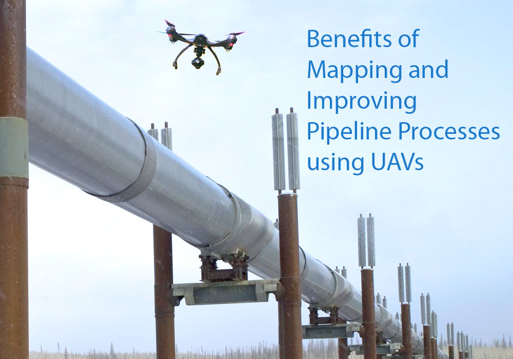
LIDAR SERVICES
Mapping and Improving Pipeline Processes using UAV
February 08, 2018 | NV | 2050 | LIDAR SERVICES
As the oil and gas industry looks for innovative ways to map out land surveys in a shorter turnaround for laying pipelines, one technology that is seeing increasing interest is the UAV. Here we look at ways UAVs can help in the pipeline routing process.
Single Tool Multi-Function
When surveying using land crews,
Read More
CAD & GIS
How remote sensing integrates into GIS
January 25, 2018 | NV | 3600 | CAD & GIS
The major component of GIS is remote sensing which makes the entire collection of data possible. Remote sensing is the process or the act of collection various sets of information about the surface of the earth without ever making any physical contacts with the same.
In a nutshell, GIS is a computing system that is
Read More
CAD & GIS
How GIS and drones can help during natural calamities.
January 21, 2018 | NV | 2171 | CAD & GIS
When GIS is talked about in the recent past and companies began investing their efforts and resources, most people were skeptical about it. Some thought it is going to never take off and it is very impractical to find a use other than in military applications.
Recently in Australia during a practice session for
Read More
LIDAR SERVICES
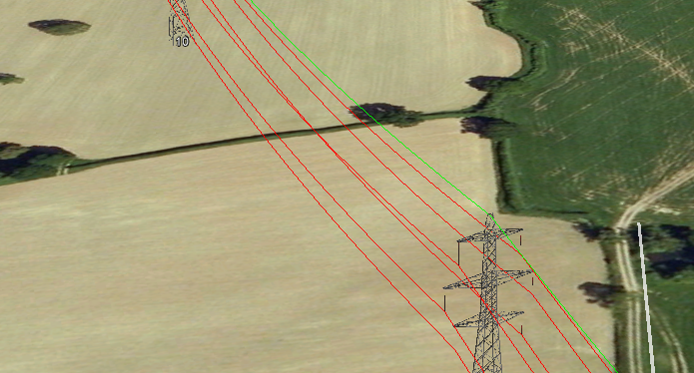
Transmission Line Management Using LiDAR and PLS-CADD
December 06, 2017 | NV | 3200 | LIDAR SERVICES
InfoTech is having trained resources working on PLS-CADD and generating models for various client requirement. InfoTech’s resources are well trained in both the traditional LiDAR techniques as well as PLS-CADD, the recent in the industry. The use of PLS-CADD has made the post processing of LiDAR data quite easy
Read More
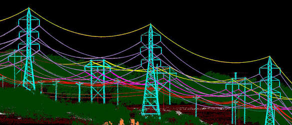
LIDAR SERVICES
3D visualisation platforms doing the same thing as the corporate GIS
August 24, 2017 | NV | 2216 | LIDAR SERVICES
A key part of our service delivery, particularly for vegetation management, is to provide a 3D view of the lines, ground and trees along with reporting and measurement tools. However, we’re often challenged and asked something like ‘how does this differ from our GIS’?
It is a great question
Read More
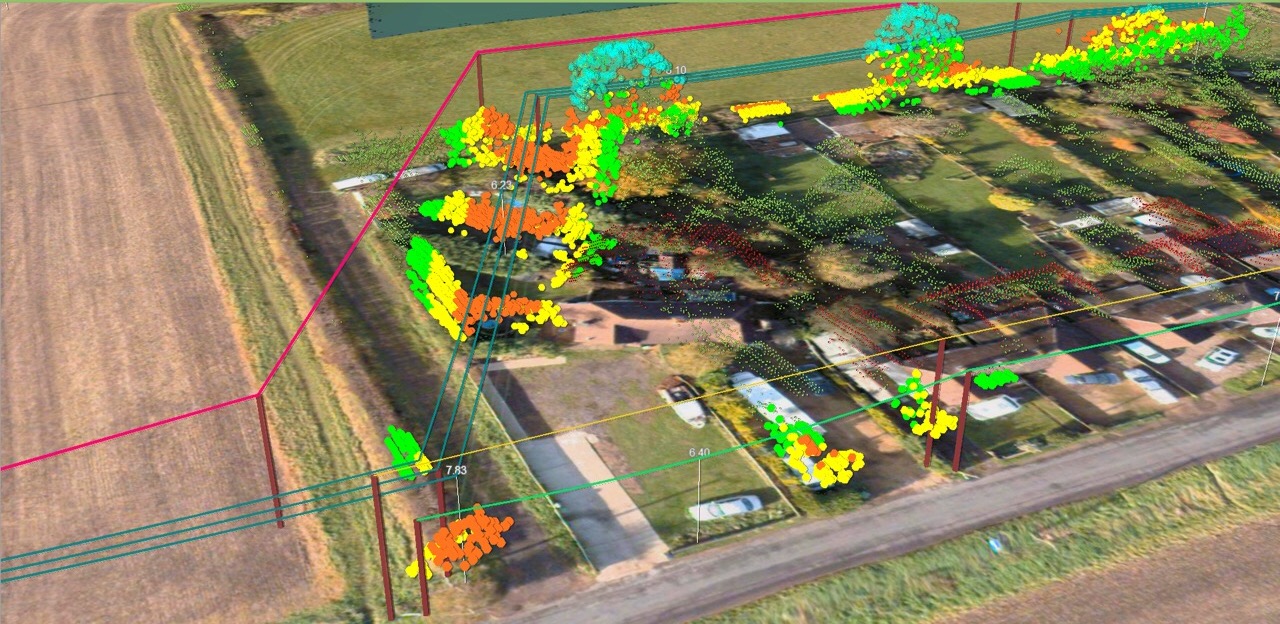
LIDAR SERVICES
Utility Mapping using LiDAR
August 24, 2017 | NV | 2341 | LIDAR SERVICES
UTILITY MAPPING SERVICES
With more than 100000 km of experience in utility mapping services and Power Lines Maintenance (transmission and distribution) from LiDAR Data and Aerial Photography, InfoTech provides custom and high quality utility mapping solutions from LiDAR and imagery.
Through our extensive experience,
Read More