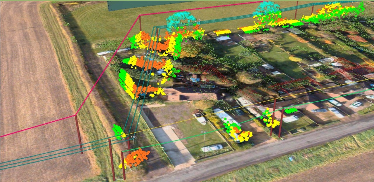
A key part of our service delivery, particularly for vegetation management, is to provide a 3D view of the lines, ground and trees along with reporting and measurement tools. However, we’re often challenged and asked something like ‘how does this differ from our GIS’?
It is a great question – and a fair one. We see the corporate (or enterprise) GIS as representing a single source of truth on the position and attributes of network assets. The data that makes it into this system is subject to robust validation and is updating procedures and a range of governance rules. It is a core part of the utility information infrastructure alongside the asset management system.
The type of system we provide has been designed to complement this GIS capability and deal with things that aren’t practical for the enterprise system. We deal with data that has a very time limited value – the position of the conductors at the time of survey and the current state of the trees. This information would have no place in the GIS yet it is crucial to vegetation managers.
The requirement to rapidly provide this information to utility users (often as quickly as a few days after data capture) also means that ingesting it to a corporate system will be highly resource intensive, or even impossible. Finally, we’ve geared this platform to run over the web AND take hundreds of gigabytes of mass LiDAR data – it can’t do what the GIS can, but it can stream the virtual representation of the 3D world.