InfoTech Enterprises Blogs - By Category
LIDAR SERVICES
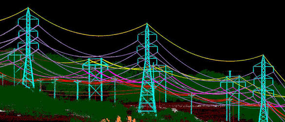
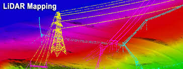
Utility Mapping using LiDAR
August 24, 2017 | 3206 | NV
UTILITY MAPPING SERVICES
With more than 100000 km of experience in utility mapping services and Power Lines Maintenance (transmission and distribution) from LiDAR Data and Aerial Photography, InfoTech provides custom and high quality utility mapping solutions from LiDAR and imagery.
Through our extensive experience,
Read More
LIDAR SERVICES
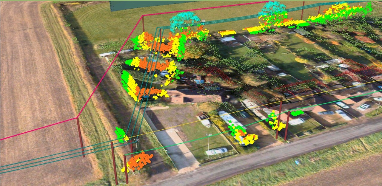
3D visualisation platforms doing the same thing as the corporate GIS
August 24, 2017 | 3129 | NV
A key part of our service delivery, particularly for vegetation management, is to provide a 3D view of the lines, ground and trees along with reporting and measurement tools. However, we’re often challenged and asked something like ‘how does this differ from our GIS’?
It is a great question
Read More
LIDAR SERVICES
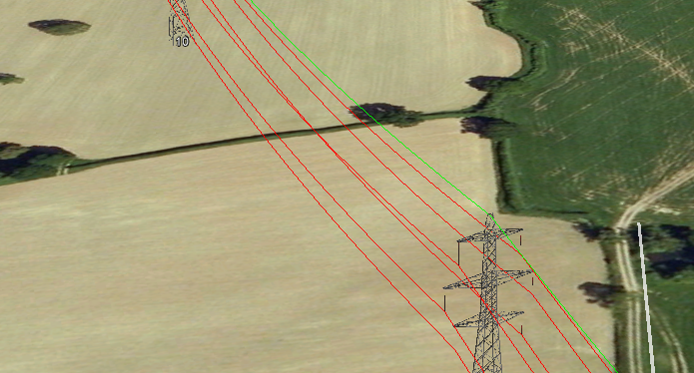
Transmission Line Management Using LiDAR and PLS-CADD
December 06, 2017 | 4110 | NV
InfoTech is having trained resources working on PLS-CADD and generating models for various client requirement. InfoTech’s resources are well trained in both the traditional LiDAR techniques as well as PLS-CADD, the recent in the industry. The use of PLS-CADD has made the post processing of LiDAR data quite easy
Read More
LIDAR SERVICES
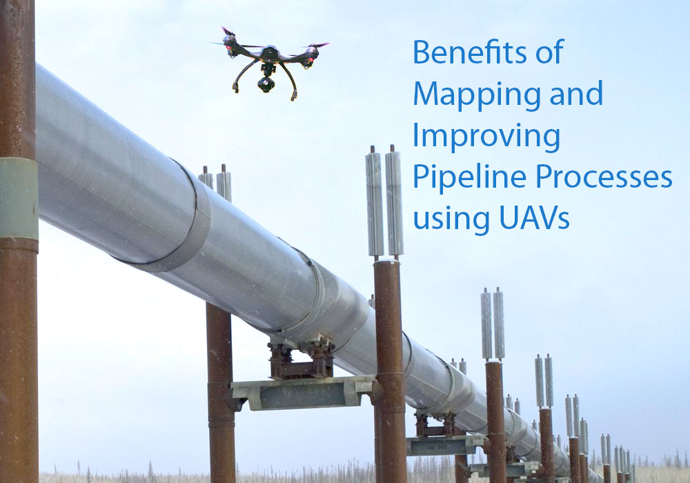
Mapping and Improving Pipeline Processes using UAV
February 08, 2018 | 2912 | NV
As the oil and gas industry looks for innovative ways to map out land surveys in a shorter turnaround for laying pipelines, one technology that is seeing increasing interest is the UAV. Here we look at ways UAVs can help in the pipeline routing process.
Single Tool Multi-Function
When surveying using land crews,
Read More
LIDAR SERVICES
What is LiDAR and how does it work?
February 25, 2018 | 2790 | NV
LiDAR is also known as Light Detection and Ranging. LiDAR technology uses light sensors to measure the distance between the sensor and the target object. LiDAR is a remote sensing method that uses laser to measure the elevation like the ground, forest, and buildings.
It uses the ultraviolet, visible, or near-infrared
Read More