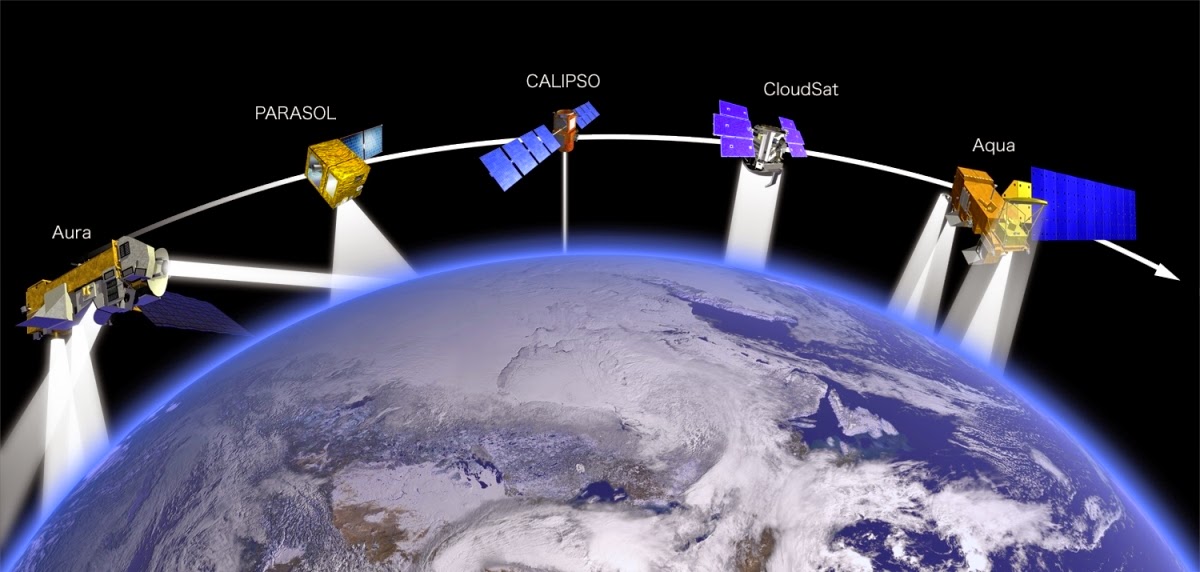
The major component of GIS is remote sensing which makes the entire collection of data possible. Remote sensing is the process or the act of collection various sets of information about the surface of the earth without ever making any physical contacts with the same.
In a nutshell, GIS is a computing system that is used to collect, store, manage, analyze and study and display different sets of geographical data for a wide range of applications. There are a wide range of applications that help the users of the data thus collected to carry out a variety of tasks such as spatial query and analyses, spatial data editing and creating accurate hard copy of maps. It largely relies on the reaction that happens between the radiation that comes in and the object of interest whose reflected data is getting collected by analyzing the emitted radiations.
Remote sensing heavily relies on sensing and capturing reflected energy trails off the earth. This energy beams are then analyzed to understand the presence of various geographical areas and locations.
It is remote sensing and various techniques used to collect geographical information that lays the groundwork for any GIS to begin its work. Only if the process of remote sensing works properly can a GIS can deliver the results intended of the same.
However, with the advent of better remote sensing and data analytical and interpretation tools, the quality of the results offered by GIS will only go higher.